Live Webcams in Okinawa Prefecture
Explore the stunning views and live conditions in the region of Okinawa Prefecture.
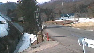
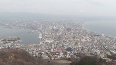
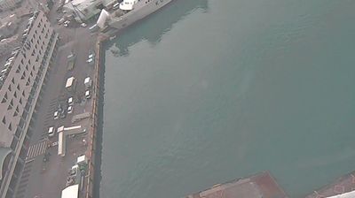
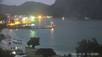
Latest Cameras in Okinawa Prefecture


Discover Okinawa Prefecture
The region of Okinawa Prefecture is full of hidden gems and iconic spots. Using our live webcams, you can monitor current traffic, verify weather conditions before a hike, or simply relax by watching a live beach or city square.

About Okinawa Prefecture
Okinawa Prefecture is the southernmost and westernmost prefecture of Japan. It consists of three main island groups—the Okinawa Islands, the Sakishima Islands, and the Daitō Islands—spread across a maritime zone approximately 1,000 kilometers east to west and 400 kilometers north to south. Despite a modest land area of 2,281 km2, Okinawa's territorial extent over surrounding seas makes its total area nearly half the combined size of Honshu, Shikoku, and Kyushu. Of its 160 islands, 49 are inhabited. The largest and most populous island is Okinawa Island, which hosts the capital city, Naha, as well as major urban centers such as Okinawa, Uruma, and Urasoe. The prefecture has a subtropical climate, characterized by warm temperatures and high rainfall throughout the year. People from the Nansei Islands, including Okinawa, the Sakishima Islands, and parts of Kagoshima Prefecture, are often collectively referred to as Ryukyuans. However, there are significant cultural and customary differences between individual islands and even between local communities.
📖 Read more on Wikipedia