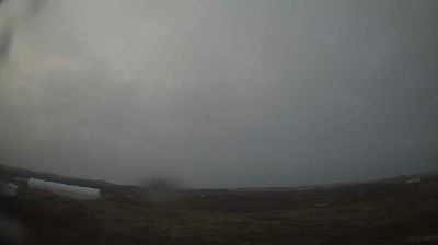
Good Hope Lake › 북쪽: Highway 37 near - looking north
![]() Good Hope Lake, 캐나다
Good Hope Lake, 캐나다
Welcome to the live streaming webcam for Good Hope Lake › 북쪽: Highway 37 near - looking north, perfectly situated in the vibrant region of Good Hope Lake, 캐나다. Watching this live camera allows you to instantly experience the local atmosphere and monitor current climate conditions.
About Good Hope Lake
Good Hope Lake is a First Nations community in northwestern British Columbia, Canada, located on Highway 37 not far south of the border with the Yukon and located east of the semi-abandoned mining town of Cassiar, British Columbia. As of the 2006 Census, there are 41 people living in Good Hope Lake, down from 75 in 2001. The band government of the Dease River First Nation is located in Good Hope Lake, and is a member government of the Kaska Tribal Council.
📖 Read more on Wikipedia📍 Location Facts
-
Country
 캐나다
캐나다
- Region 브리티시컬럼비아 주
- City Good Hope Lake
- Coordinates 59.2898°N, -129.3017°E